RM
Ronnie Mbuqe
Author · ExplainItSimply
October 2026
13 minute read
English
Turn Earth towards the Pacific and the continents retreat to the edges
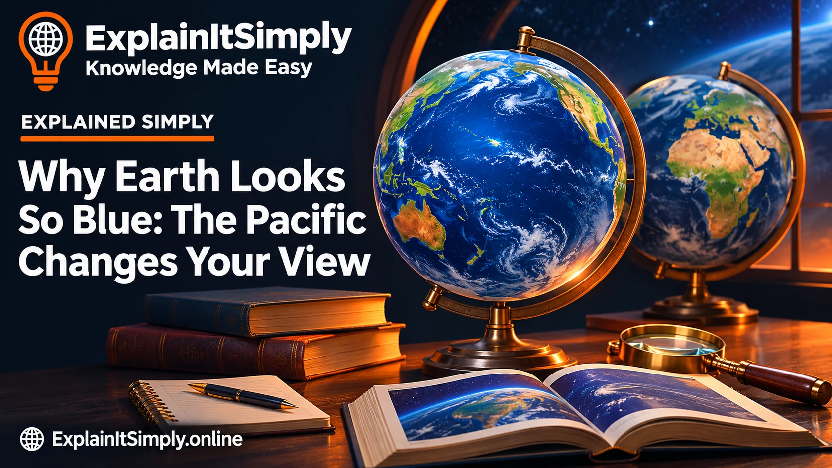
Many familiar maps put a particular continent near the centre. A globe viewed from above the Pacific tells a different visual story: water fills much of the view, with land around the margins. You are not seeing another planet; you are seeing another side of the same one.
The ocean covers about 71% of Earth's surface. The Pacific is the largest ocean basin and occupies more than 30% of the planet's surface, according to NOAA. Those proportions concern surface area, not how much of Earth's total volume is water.
A photograph can therefore begin two investigations. How much of the surface is water? And why does that water often look blue? The first question describes coverage. The second needs an explanation involving light.
A different view of a familiar planetA learner looking at an Africa-centred map asks where all the water went
Imagine a classroom map centred on Africa and Europe. Those places naturally draw attention because they are prominent and labelled. Now turn a globe so that the central Pacific faces you. Water becomes the dominant visual feature and many familiar land areas move towards the edge.
Neither view changes the planet's surface. The difference is which half of the globe faces the viewer, plus how the curved surface is displayed. A picture can be accurate for its viewpoint without being a representative sample of every region in equal proportions.
This helps explain why the Pacific image feels surprising. We learn a recognisable arrangement of continents and treat it as Earth's default appearance. The planet has no preferred front. “Our side” is a human choice, not a special direction built into the globe.
Try covering half a globe with your hand and predicting which continents remain visible from the opposite side. Then distinguish the area of water visible in that view from the water fraction of the whole planet. Those are related observations with different denominators.
A blue sky is not the ocean's only source of blue
Sunlight contains a range of visible wavelengths. Water absorbs red wavelengths more strongly than blue over relevant path lengths, changing the mixture of light available to return to an observer. The blue appearance of deep, relatively clear water is therefore not simply a mirror copying the sky.
Reflection from the surface can still matter, as can viewing angle, clouds and glare. Particles, sediment and organisms affect what light is absorbed or scattered, helping explain green or brown coastal water. “The ocean is blue” is a useful broad observation rather than a rule that every patch must follow.
A small glass of clear water can look colourless because the light travels through a short path and the effect is weak. Looking into a large depth of water gives absorption more distance to act. The amount of water along the light's journey matters, not just whether water is present.
Why does water in a glass look clear while a deep pool looks blue?
The light has different distances of water to travel through. In a short, relatively clear path, the selective absorption is not strong enough to produce the same visible colour as a much longer path. Depth and the route light takes through the water therefore matter.
For an underwater object, light must reach the object and some of it must return to the observer. As red wavelengths are absorbed, red surfaces can lose their familiar appearance without an additional nearby light source. The object has not changed its paint; the available illumination has changed.
A pool can also have coloured tiles, suspended material and reflected surroundings, so it is not a controlled experiment proving only one mechanism. The point is to ask which parts of the light path contribute, rather than declare every blue surface a reflection of the sky.
In ocean observations, scientists distinguish the light interacting with the water and its contents from contributions such as surface reflection and atmospheric effects. That is why interpreting an image requires more than choosing the blue pixels.
If blue is the rule, what is happening in green coastal water?
The water is not an empty optical container. Material within it can absorb and scatter light differently from relatively clear water. Phytoplankton pigments, suspended sediments and dissolved substances can change the light returning towards a sensor or observer.
A brown plume near a river mouth can therefore tell a different story from a blue offshore region. But colour alone does not establish every cause, the safety of the water or the exact amount of a substance. Several mechanisms can produce superficially similar appearances.
Appearance begins an investigation; it does not finish one| Observation | Question to investigate |
|---|
| Deep blue offshore water | How clear is the water, and what light path is involved? |
| Green water | Which biological or other optical contributions are present? |
| Brown water near a river | Are suspended sediments affecting scattering and absorption? |
| A bright patch on the surface | Could the viewing angle and sunlight produce glare? |
The table deliberately presents questions rather than universal diagnoses. Reliable interpretation combines measurements, context and the relevant physics. A social-media caption should not turn a plausible explanation into an unsupported claim about a particular coastline.
If Earth has so much water, why are familiar maps full of land?
Map projection turns a curved surface into a flat picture. Choices about the centre and projection change the appearance of regions and can distort area. The rectangular outline of a map is not a neutral photograph of a sphere.
A Pacific-centred view shifts attention without changing the global ocean fraction. A land-centred view does the same in the other direction. What dominates one visible hemisphere is different from what fraction of the entire surface it represents.
Count coverage without mistaking it for a map
71 of 100 cells represent ocean; 29 represent land. Cells are not geographic locations.
The one-hundred-cell diagram represents the global proportion with 71 ocean cells and 29 land cells. It is an area-counting model, not a world map: the locations of the squares do not reproduce coastlines or ocean geography.
Does a mostly water-covered surface mean Earth is mostly water?
No. A surface-area fraction and a volume fraction answer different questions. A thin layer can cover much of a large object while contributing a small part of its total volume. Paint covering a ball is a useful geometric analogy, although the ocean is not a uniform layer.
The 71% figure concerns Earth's surface area. It does not mean 71% of the planet's interior is an ocean. Rocky material extends deep below the seabed, and the water depth varies greatly between regions.
The same denominator problem appears in other subjects. “Most of the photograph is blue”, “most of the surface is water” and “most of the planet's volume is water” are three different claims. An explanation should state which one a measurement supports.
This is why the hundred-cell activity is labelled as an area model. Counting its cells illustrates a proportion. It does not show ocean depth, the location of continents or the total amount of water inside and around Earth.
Why does the ocean stay on a round Earth instead of falling off?
“Down” near Earth means approximately towards Earth's centre, not towards the bottom edge of a picture. Gravity attracts water towards the planet, just as it attracts the ground and people standing on it. There is no universal lower edge in space from which the water must spill.
The surface settles around the planet under gravity and rotation, shaped by differences in height and Earth's gravitational field. Basins in the crust provide places for the ocean to collect. The detailed sea surface is not a perfectly smooth mathematical sphere.
A globe's water at the bottom of your screen is not upside down to a person standing there. Their local downward direction also points inward. The apparent puzzle comes from treating a page's orientation as the Universe's direction of gravity.
What happens over that blue area can affect a home far from the beach
The ocean stores and moves heat, exchanges energy with the atmosphere and supplies water vapour through evaporation. Winds and circulation connect regions rather than keeping every bit of weather directly above its local source. A land-based life still takes place in an ocean-influenced climate system.
This does not mean a single warm patch gives a complete forecast for your town. Weather depends on interacting conditions, and specific claims require observations and a suitable forecasting model. The useful connection is that air and ocean exchange heat and moisture; they are not separate chapters in the real world.
The ocean also contains salt, so abundant seawater is not the same thing as readily available drinking water. Treatment, infrastructure, energy and location determine access. A mostly water-covered planet can still face serious freshwater constraints.
How can a blue area on a globe affect the weather beyond it?
Picture a sunny coastal afternoon. Land and water do not respond identically to incoming energy: water has a high heat capacity, and mixing spreads energy through a volume. Under suitable conditions, land warms more quickly and the resulting air-pressure differences can contribute to a sea breeze.
That is a local example of energy exchange, not a forecast for every beach. Large-scale winds, cloud, terrain and other conditions can alter or overwhelm it. A mechanism describes how something can happen; a forecast needs the actual state of the atmosphere and ocean.
Evaporation provides another connection. Water takes energy to change into vapour, and air can transport that moisture elsewhere. Condensation is part of how clouds form under the right conditions. The ocean can therefore influence weather without being visible from the place receiving rain.
When you see the Pacific-facing Earth again, follow the connections: a viewpoint changes what dominates the image; light determines appearance; gravity holds the water around the planet; and exchanges of heat and moisture link sea and land. The blue area is part of an active system.
What should you ask of the next image labelled “Earth from space”?
Ask where the view is centred, whether it is a single observation or a composite, and whether colours have been processed for a particular purpose. Satellite instruments can measure wavelengths outside human vision; an image may display those data using chosen colours.
The banner on this article is an original illustration, described as such in its alternative text. It is not offered as a satellite observation or a measured map. For evidence about area or ocean colour, use the scientific sources below rather than measuring pixels in the artwork.
The remarkable discovery is not merely that Earth looks blue. It is that one picture can lead from viewpoint and light to gravity, heat and the difference between a large supply of salt water and the water available at a tap.
Sources and further reading
A closer lookA globe's appearance depends on the viewpoint
Rotate a globe until the Pacific faces you, then rotate toward Africa and Eurasia. The visible proportion of ocean changes although the planet itself has not changed.
Work through the distinction
A photograph shows one view, not the entire surface at once. Camera position, illumination and processing also affect appearance. A globe demonstration explains viewpoint without pretending to be a new satellite observation.
What changed when the globe turned?
Choose an answer to see feedback. You can try again.
Show the answer and explanation
The visible hemisphere. A photograph shows one view, not the entire surface at once. Camera position, illumination and processing also affect appearance. A globe demonstration explains viewpoint without pretending to be a new satellite observation.