RM
Ronnie Mbuqe
Author · ExplainItSimply
30 July 2026
25 minute read
English
 The question behind the moment
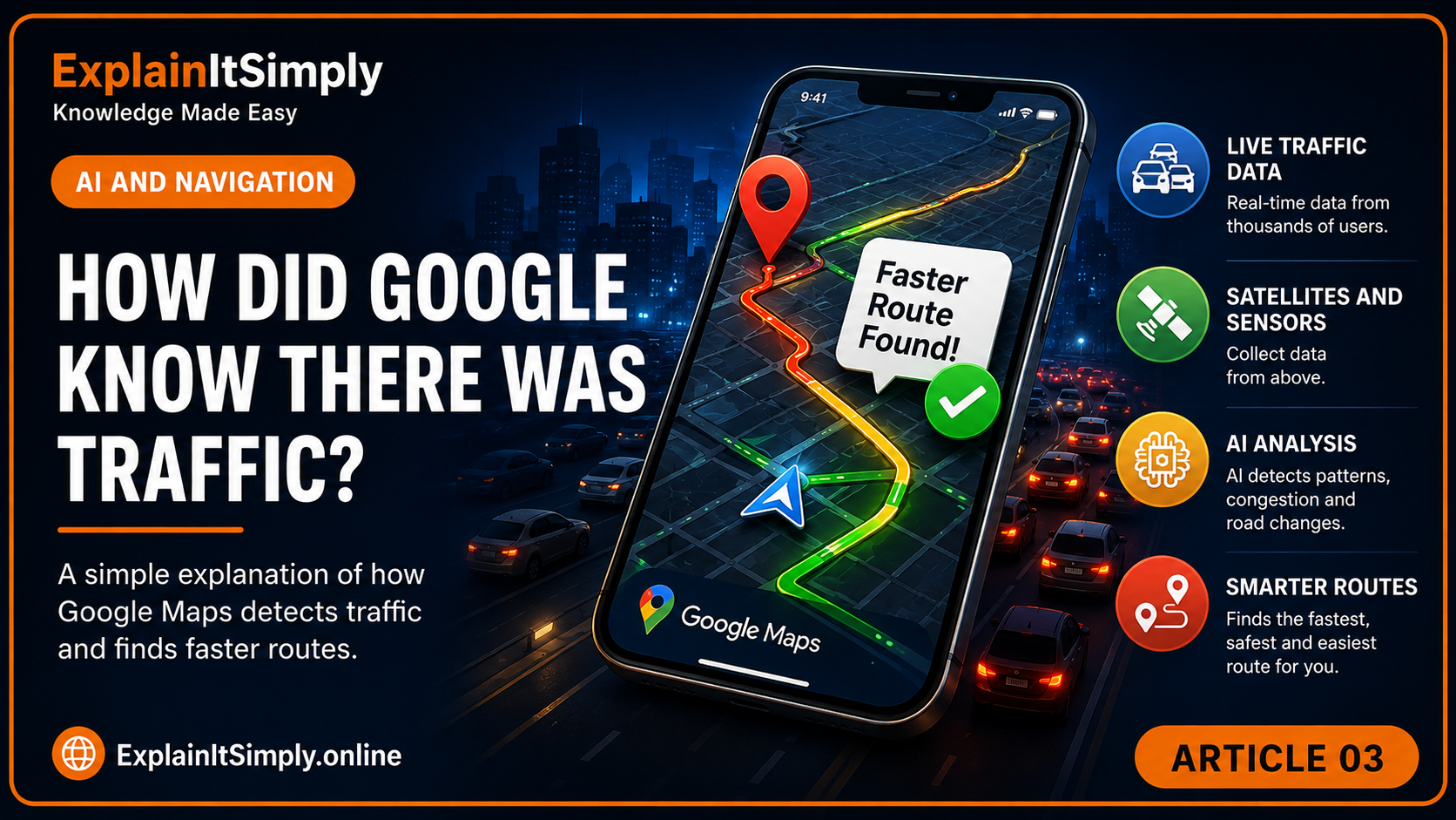
Your map did not see the future. It assembled the road ahead from millions of changing clues.
We will follow the real journey, use familiar comparisons and connect every answer to the next question.
The red road on the mapYou have not reached the traffic, but your map already knows
You leave home expecting the usual route. The navigation app paints one road red and suggests a turn you would not normally take. Ten minutes later, you pass the queue from another direction.
The app did not see the future. It assembled a changing picture from location signals, road information, current movement and patterns from previous days.
Real-life scene · Leaving a stadiumImagine thousands of people walking through several exits
If one exit suddenly slows, you do not need to interview every person. The movement itself reveals the problem. People bunch together, progress becomes slower and another exit may become quicker.
Traffic systems use a similar clue: many devices moving unusually slowly along the same road can indicate congestion.
First questionHow does the phone estimate where it is?
GPS satellites transmit precise timing information. Your phone compares signals from several satellites and calculates an estimated position. It may also use Wi-Fi, mobile networks and sensors to improve the result, especially where satellite signals are weak.
Everyday comparisonFinding yourself from several landmarks
If you know you are five minutes from the school, two minutes from the supermarket and beside the railway, those clues narrow down your position. GPS uses timing and distance mathematics instead of familiar buildings, but the principle of combining several references is similar.
Follow the journeyHow does movement become a traffic warning?
1Devices estimate their positions
Phones and connected vehicles can produce location and movement information.
2The service groups movement by road
It must distinguish a slow car on the highway from a person walking beside it.
3Current speed is compared
If many vehicles are moving much slower than expected, congestion becomes likely.
4Incidents and road rules add context
Closures, crashes, construction, speed limits and turn restrictions affect possible routes.
5Route options are recalculated
The system estimates whether staying on the road or taking another route is likely to be faster.
The fastest route now may not be the fastest route when you arrive
A route is a journey through time, not only a line on a map. The system must estimate what each road may look like by the time you reach it.
Historical patterns help. A road that normally becomes congested at 07:30 may receive a different estimate at 07:20 than it would at midday. Rain, school times, events and incidents can change the picture.
That is why the arrival time can change during the trip: the system keeps receiving new evidence.
💡 Did you know?The service needs movement patterns more than it needs your personal story
Traffic estimation can be built from aggregated movement signals. The useful question is not “Where is one particular person going?” but “How quickly are many devices moving along this road?”
Where the evidence comes fromTraffic is not seen by one giant camera in the sky
Navigation systems can use several kinds of evidence: movement from phones using location services, road sensors, reports from drivers, public transport information, historical travel times, road closures and sometimes information supplied by authorities. No single source is perfect, so the system combines them.
If many devices on the same road are moving at 15 km/h where traffic normally moves at 80 km/h, that is a strong sign of congestion. But the system must also avoid silly conclusions. Phones inside a bus move together. People in a shopping centre may appear close to a road. A taxi rank may create many stationary devices without indicating a blocked highway.
Crowd comparisonImagine watching people leave a stadium
One slow person tells you very little. Hundreds of people slowing in the same passage tell you something important. Traffic systems use the same principle: many independent movements create a clearer picture than one device alone.
A prediction that keeps changingWhy does the arrival time move from 08:42 to 08:55?
The first estimate is based on the best information available at that moment. As you travel, the system receives new evidence: traffic may slow, an accident may be reported, a road may clear or you may miss a turn. The prediction is recalculated because the future is being updated by the present.
The map does not know with certainty what every driver will do. It estimates how long each section of road is likely to take, adds those sections together and compares alternative routes. A route that is longer in kilometres may be faster because it has fewer slow sections.
AMeasure the current position
GPS and other device signals estimate where the phone is.
BEstimate each road segment
Current speed, history and incidents help estimate travel time.
CCompare routes
The system weighs distance, road type, turns, closures and expected delays.
DRecalculate continuously
New evidence changes the recommendation and arrival time.
Does the traffic system need to know your name?
To estimate traffic, a service mainly needs movement information: a device was here, then there, and took this long. Good privacy design tries to separate that movement from a person's direct identity, reduce how long detailed information is kept and combine many devices into broader traffic patterns.
Still, location is sensitive because repeated movement can reveal routines. That is why phone permissions, account settings and the service's privacy practices matter. Convenience and privacy are not enemies, but they require careful design and informed choices.
◉Another identity questionHow does your phone recognise your face without storing a normal photograph?Explore facial templates, liveness checks and secure matching.→
What should you remember?
- GPS helps estimate location; it does not directly “see” traffic.
- Traffic appears from the combined movement of many road users and other data sources.
- Navigation compares possible routes and estimates future conditions along each one.
- Your arrival time changes because the evidence changes.
Keep exploringOne answer opens another door
The system you have just followed depends on other systems. Choose the next hidden story.
The next time...
The next time a map tells you to turn before you can see any traffic, remember that thousands of small movement clues may already have formed a picture of the road ahead.
Ordinary moment. Extraordinary story.
One more question before you goYour map predicts the road ahead. How does your keyboard predict the word ahead?
Traffic prediction and predictive typing look completely different, but both narrow many possibilities by comparing current clues with patterns from the past.
⌨Continue the curiosity journeyHow Did My Phone Finish My Sentence?Follow the clues your keyboard uses to decide which word is most likely to come next.→
🤔 The Next Time...
The next time your map changes the route
A red road or a new turn is not simply a coloured line on a screen. It is a decision assembled from many moving clues.How many other journeys quietly helped the map improve yours?